Clancy
Member
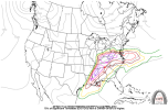
It's merely because the analog-based algorithms used to determine those threat contours are dependent upon model data (updated twice per day), causing them to differ, sometimes drastically, from the overall geometry of SPC outlook areas.I'm currently a 1st year meteorology student. Is there any reason as to why CSU has drastically different risk areas from the SPC?