ashtonlemleywx
Member
- Messages
- 300
- Location
- Oxford, Mississippi
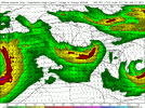
This graphic doesn't seem like an easy task.
Anyone know how to combine 500mb height/wind with surface dew points.....and overlap them into one image?
Anyone know how to combine 500mb height/wind with surface dew points.....and overlap them into one image?